
Top 10 Reasons People are Moving to SWFL in 2025
Southwest Florida

A barrier island city of shell beaches and wildlife refuge, reached by the three mile Sanibel Causeway, where more than half the island stays wild.
Sanibel Lighthouse, 2010. Photo Pat Williams, CC BY 2.0, cropped
Sanibel is a city that covers all of Sanibel Island, a barrier island in Lee County reached from Punta Rassa by the three mile Sanibel Causeway. More than half the island is made up of wildlife refuges, the largest being the J. N. "Ding" Darling National Wildlife Refuge, and the beaches are known for their shells. Since the city incorporated in 1974, its land use plan has balanced building with keeping the island natural.
The Sanibel Causeway runs three miles across San Carlos Bay on three bridge spans and two man-made islands, which are operated as a public beach park, Causeway Islands Park. It was originally built in 1963, rebuilt in 2007, and carries a toll for island-bound vehicles only.
Source: Wikipedia, Sanibel Causeway, https://en.wikipedia.org/wiki/Sanibel_Causeway (3 miles, $6 toll for island-bound vehicles only, built 1963, rebuilt 2007, three bridges and two causeway islands operated as Causeway Islands Park), read 2026-10-15.The J. N. "Ding" Darling National Wildlife Refuge is the biggest refuge on the island and covers more than 5,200 acres; the refuge was established in 1945 to protect one of the country's largest undeveloped mangrove ecosystems. You can drive, walk, bike or kayak through it.
Source: Wikipedia, Sanibel, Florida, https://en.wikipedia.org/wiki/Sanibel,_Florida (biggest wildlife refuge on the island, more than 5,200 acres) and J. N. "Ding" Darling National Wildlife Refuge, https://en.wikipedia.org/wiki/J._N._%22Ding%22_Darling_National_Wildlife_Refuge (5,200 acres, established 1945, one of the country's largest undeveloped mangrove ecosystems), read 2026-10-15.The island's most famous landmark, the Sanibel Lighthouse, stands at its eastern end, adjacent to the fishing pier. Periwinkle Way is the main thoroughfare and carries most of the stores and restaurants, and the Bailey-Matthews National Shell Museum and the Sanibel Historical Village are on the island too.
Source: Wikipedia, Sanibel, Florida, https://en.wikipedia.org/wiki/Sanibel,_Florida (the Sanibel Lighthouse at the island eastern end adjacent to the fishing pier; Periwinkle Way where most stores and restaurants are; Bailey-Matthews National Shell Museum and Sanibel Historical Village), read 2026-10-15.A short bridge over Blind Pass links Sanibel to Captiva Island, and Sanibel and Captiva formed as one island about 6,000 years ago.
Source: Wikipedia, Sanibel, Florida, https://en.wikipedia.org/wiki/Sanibel,_Florida (bridge over Blind Pass to Captiva; Sanibel and Captiva formed as one island about 6,000 years ago), read 2026-10-15.Hurricane Ian came ashore across San Carlos Bay on September 28, 2022 and destroyed parts of the causeway, cutting off road access to Sanibel and Captiva. The causeway reopened on October 19, 2022 and fully reopened to all traffic on October 20, and permanent repairs finished in 2024, so rebuild and elevation history come up in nearly every island conversation.
Source: Wikipedia, Sanibel Causeway, https://en.wikipedia.org/wiki/Sanibel_Causeway (portions destroyed by Hurricane Ian on September 28, 2022, reopened October 19, 2022 after emergency repairs, all traffic October 20, permanent repairs completed 2024) and Sanibel, Florida, https://en.wikipedia.org/wiki/Sanibel,_Florida, read 2026-10-15.Open the 33957 guide for the island, address by address
Sources: Wikipedia articles on Sanibel (https://en.wikipedia.org/wiki/Sanibel,_Florida), the Sanibel Causeway (https://en.wikipedia.org/wiki/Sanibel_Causeway) and the J. N. "Ding" Darling National Wildlife Refuge (https://en.wikipedia.org/wiki/J._N._%22Ding%22_Darling_National_Wildlife_Refuge), read 2026-10-15.
One team for the search, the showings and the closing. Book a call
The island shares ZIP 33957. The guide covers the homes, the records to check and what the island around them is like.
Our MLS feed does not list Sanibel homes under that city name right now, so we do not show a search here. Ask us and we will pull the current Sanibel listings for you.
Book a callShell beaches, the Ding Darling refuge and a three mile causeway home. Sanibel is its own city, so its beach parks, refuge and utility system are Sanibel records, not Cape Coral records.
The city handles sewer service and beach parks. Drinking water comes from the Island Water Association. For each home, we check the city utility service, the FEMA flood zone and the school zone for the address.
Sanibel is a barrier island city reached by the three mile Sanibel Causeway, and more than half of the island is wildlife refuge. Mornings here are for shelling on the Gulf beaches, afternoons for the shops and restaurants along Periwinkle Way, and time outdoors at the J. N. "Ding" Darling National Wildlife Refuge.
Water access belongs to the lot, not the neighborhood name, so on a waterfront home we check the dock and the route for that exact address before you fall for the view.
Sanibel incorporated in 1974, and its land use plan was written to balance building with keeping the island natural. The city covers the entire island and shares one ZIP, 33957.
The causeway crosses San Carlos Bay from Punta Rassa on three bridge spans and two man-made islands, which double as Causeway Islands Park for windsurfing and kitesurfing. The toll is charged only for island-bound drivers.
The J. N. "Ding" Darling National Wildlife Refuge covers about 5,200 acres, set aside in 1945 to protect wildlife habitat and mangroves.
The Sanibel Lighthouse stands at the eastern end beside the fishing pier, and the Bailey-Matthews National Shell Museum and the Sanibel Historical Village are on the island too.
Sanibel runs city services and beach parks, and The Sanibel School is a district K-8 school on the island.
The Island Water Association supplies drinking water, and the City of Sanibel handles sewer service.
The School District of Lee County runs The Sanibel School, a K-8 school on the island, and any student in Lee County may request it.
The city runs its beach parks and posts their parking rules and closures, so a beach day starts with the city page.
Hurricane Ian made landfall just north of the island on September 28, 2022, and parts of the causeway were destroyed. It reopened on October 19, 2022, and the permit history of a home since then is part of the review for an island home.
The island runs from the lighthouse in the east to Blind Pass in the west, and each stretch has its own beach.
 Photo: Pat Williams, CC BY 2.0, Wikimedia Commons
Lighthouse Beach Park and the pier East end
Lighthouse Beach Park and the Sanibel Lighthouse sit at the eastern end of the island.
 Map
Gulfside City Park and the Gulf Drives Gulf side
East, Middle and West Gulf Drive run along the Gulf side, where Gulfside City Park is a city beach park.
 Map
Blind Pass and Bowman's Beach West end
Blind Pass Beach sits by the short bridge over Blind Pass to Captiva, and Bowman's Beach is another of the island's Gulf beaches.
 Map
The refuge, the Bailey Tract and City Hall Interior
Away from the beaches sit the refuge lands, including the Bailey Tract, along with the Sanibel Recreation Center and city offices.
The fun part is choosing your end of the island. These five checks keep the rest of the purchase calm.
Sanibel and Captiva sit side by side but answer to different governments, so we read the Lee County parcel record on every home you like.
We ask the city about water and sewer at the exact address, and what moves the account at closing.
The city flood page and the FEMA map show the zone, and the elevation certificate shows how the house sits in it. Together with the permit history since 2022, they shape the insurance quote.
For a waterfront home, we gather the seawall and dock records and review the route to open water with your boat specs in hand.
For a condominium or community association, the fees, reserves and rental rules are part of the monthly cost, so we read them early.
Start your price review with recent closed sales of homes like yours on the island.
Gulf-front against Gulf-front, a home on the water against its neighbors on the water, a condominium against its building, each with similar condition and rebuild history.
We compare recent island sales with the condition, location and records of your home.
Flood and elevation records, the permit history since 2022 and any association papers answer the first questions island buyers ask.
The island ZIP guide, the county, Fort Myers Beach down the coast, and the two flood lookups island buyers use.
Search links stay on Sanibel. Flood links open the public record for the address.
Practical guides for the Southwest Florida coast. Apply the advice to the exact property.
Use the named-place list at the top of the page to explore schools, parks and local services. Choosing a row shows the point and directions.
Show schools on the map ↗The district sets attendance zones; its address lookup gives the current answer for the home you like.
School district information ↗Beaches, marinas, parks and everyday stops from OpenStreetMap. A quick call ahead confirms hours before you go.
Choose a category to explore named places.
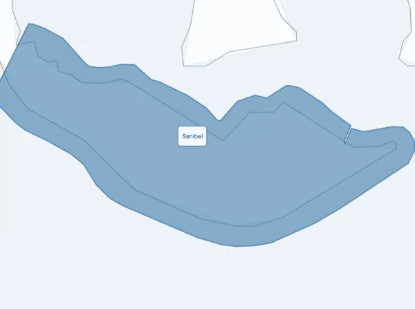
Named places inside the mapped Sanibel city limit. OpenStreetMap. Sources shown per category.
Choose a place in the list. The map shows what is around it.
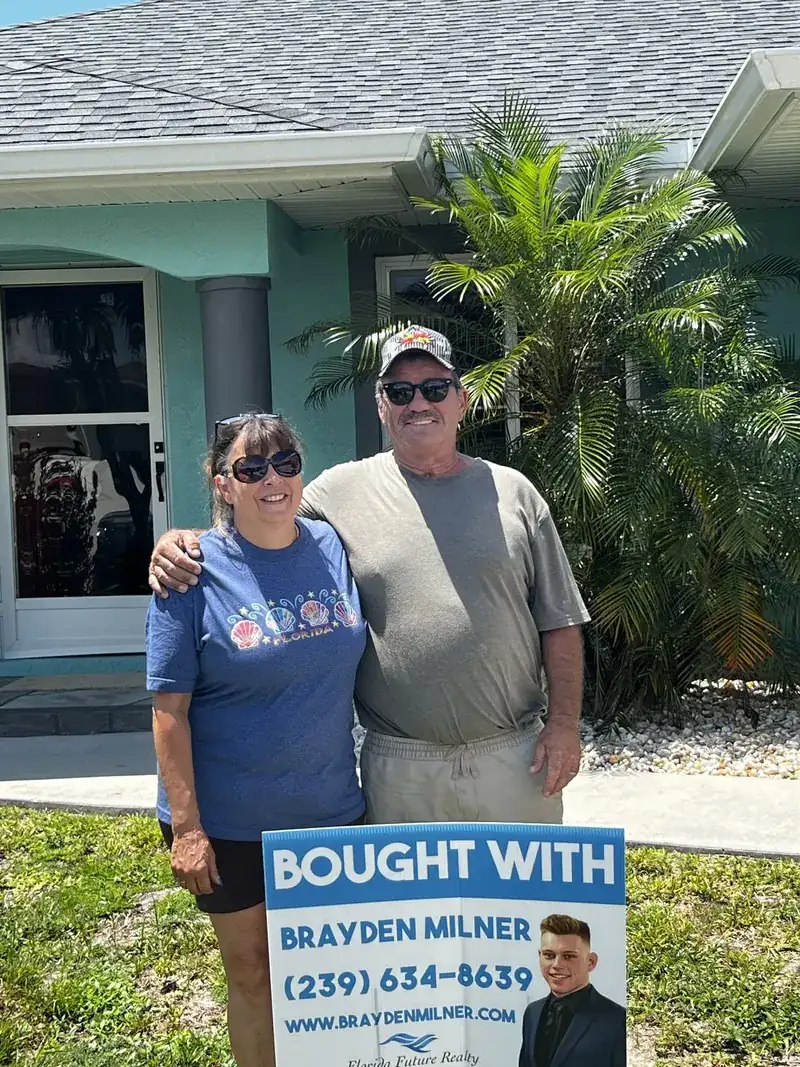
Bought with Brayden
Buyers who found their Southwest Florida home with our team.

Closings with The Milner Team. Brokered by Florida Future Realty, Inc.
Yes. Sanibel incorporated in 1974, and the city covers the whole of Sanibel Island, ZIP 33957. Captiva, across Blind Pass, and Fort Myers Beach, on Estero Island, are separate places with their own rules.
The Island Water Association supplies drinking water to Sanibel. The City of Sanibel handles sewer service. We check both accounts for the exact address before you buy.
They are built for Cape Coral. For a Sanibel home, the City of Sanibel flood page and the FEMA Flood Map Service Center give the official flood zone, and the dock records for that lot tell the water story.
The flood zone and elevation certificate, the permits for any work since the 2022 storm, the insurance quote, the water and sewer accounts and, for a condominium, the association papers. The city flood page points to elevation certificates where the city has them.
Start with recent closed sales of homes like yours on the island: Gulf-front against Gulf-front, a canal or bay home against its neighbors, a condominium against its building. Ask us to compare current island listings and recent closed sales for your home.
The School District of Lee County, which runs The Sanibel School, a K-8 school on the island. Any student in Lee County may request the barrier island schools, and the district address lookup gives the current zone for a specific home.

Bring the Sanibel address, any flood or elevation papers, and the utility or association documents you already have. We will sort the records that matter for that property.
(239) 895-9383Prefer to pick a time? Book directly with an agent, or call and we will sort it out on the spot.
The Milner Team, led by Brayden Milner. Brokered by Florida Future Realty, Inc.
Request a callback from The Milner Team.
Plan a call about SanibelA few quick taps: selling, buying or both, your timing and how to reach you. We pass your choice of agent along with it. To lock a specific time instead, book with an agent.
Tell us what you are planning. A real person on the team will follow up.
Tell us what you need, and a real person on the team will follow up.


