

JUST REDUCED Under $610k! | Matlacha Florida Direct Sailboat Access New Construction
Matlacha

The largest island on the Gulf Coast of peninsular Florida has no big beach and no traffic lights, just mangroves, fruit groves, fishing docks and the brightly colored galleries and cottages of Matlacha on the way in.
Pine Island & Matlacha, our own footage
Pine Island sits west of Cape Coral, across Matlacha Pass, and it is the largest island on the Gulf Coast of peninsular Florida. Pine Island Road is the only road to the mainland. It crosses Matlacha Pass on a small drawbridge at Matlacha, the fishing village of galleries, seafood restaurants and cottages, then runs over Little Pine Island to Pine Island Center. From there, Stringfellow Road runs 16 miles from St. James City in the south to Bokeelia and Pineland in the north.
Pine Island holds four unincorporated towns: Pine Island Center, St. James City, Bokeelia and Pineland. Matlacha counts as one of the island communities but sits on its own small islands in Matlacha Pass.
Source: Wikipedia, Pine Island (Lee County, Florida) and Matlacha, Florida, read 2026-10-15.Unlike the sandy barrier islands of Sanibel and Captiva, Pine Island has no large beach and is made of the same coral rock as the mainland. Mangroves surround it, it includes three aquatic preserves, and the Intracoastal Waterway runs through Pine Island Sound to the west.
Source: Wikipedia, Pine Island (Lee County, Florida), read 2026-10-15.Most of the island is zoned agricultural, and tropical fruit such as lychee and mango is grown and sold here. For many years Pine Island was a major commercial fishing community, and some full-time residents still fish commercially.
Source: Wikipedia, Pine Island (Lee County, Florida), read 2026-10-15.Bokeelia reaches the northern tip of the island and tiny Bokeelia Island, crossed by a small bridge, at the mouth of Charlotte Harbor. On clear days you can see across to Cape Haze and Boca Grande Pass.
Source: Wikipedia, Pine Island (Lee County, Florida), read 2026-10-15.Matlacha, an Old Florida fishing village, was largely devastated by Hurricane Ian in 2022, so the age and permit history of a building there matter more than the photos.
Source: Wikipedia, Matlacha, Florida, read 2026-10-15.Open the 33922 guide for Bokeelia and the north end of the island
Sources: Wikipedia articles on Pine Island (Lee County, Florida), Matlacha and Lee County (major road bridges), read 2026-10-15. Island ZIP counts can include Cape Coral records, so read the ZIP pages with that in mind.
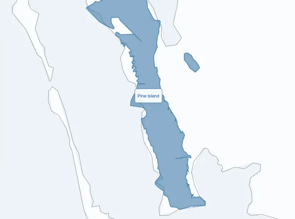
The map opens on Pine Island & Matlacha and its ZIP codes, each with homes for sale. Click a ZIP code for its median asking price, days on market and its homes. Back, at the top of the map, returns to the level above.
Loading the 3D map
Pine Island & Matlacha by ZIP code · shaded by homes for sale
ZIP shapes from the US Census (2020), trimmed to the city line. Numbers are live asking prices from the MLS, not closed sales. A ZIP code can reach past the city line, and a city can include ZIP codes not drawn on this map, so the ZIP totals will not always add up to the city total.
One team for the search, the showings and the closing. Book a call
Each ZIP guide shows the homes for sale there, the median asking price and the water around it.
Active home listings returned for Matlacha,Bokeelia,St James City. Single-family homes, condominiums, townhouses and multifamily listings. The feed's city labels can extend beyond the map's place boundary.
Current asking prices, not closed-sale prices.

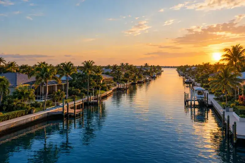
Cross Matlacha Pass from Cape Coral into Old Florida: the galleries and seafood restaurants of Matlacha, then Bokeelia, Pineland and St. James City on Pine Island. This is a different map from the Cape Coral canal grid.
Matlacha brings the village and its working waterfront into view. Bokeelia is on northern Pine Island and St. James City is toward the south, and for each home we check the drive, the water and the island utilities.
Cross Matlacha Pass on the little drawbridge and the pace changes. Matlacha greets you with brightly colored galleries, boutiques, seafood restaurants and cottages, and then Pine Island opens up: mangroves, fruit groves, fishing docks and not a single traffic light. Pine Island Road is the only road back to the mainland.
Water access belongs to the lot, not the neighborhood name, so on a waterfront home we check the dock and the route out for that exact address before you fall for the view.
Most of Pine Island is zoned agricultural, and growers here sell tropical fruit such as lychee and mango. For many years it was a major commercial fishing community, and some full-time residents still fish commercially.
Pine Island Sound runs between the island and Sanibel, Captiva and Cayo Costa, and Matlacha Pass separates it from the mainland. ZIP 33922 looks onto Pine Island Sound, Charlotte Harbor and Matlacha Pass, and 33956 onto San Carlos Bay, Pine Island Sound and Matlacha Pass.
Unlike Sanibel and Captiva, Pine Island has no large beach. It is coral rock ringed by mangroves, with three aquatic preserves around it. The beaches are a boat ride away, at places such as Cayo Costa State Park.
Pine Island Center, where Pine Island Road meets Stringfellow Road, has the island's two grocery stores, an elementary school, a library, a museum, a pool and a large park.
Stringfellow Road runs 16 miles from St. James City in the south to Bokeelia and Pineland in the north, and each stop along it feels different.
Matlacha sits on its own small islands in Matlacha Pass, between Cape Coral and Pine Island. Galleries, boutiques, seafood restaurants and traditional Florida cottages line the road through the village.
Bokeelia reaches the northern tip of the island and tiny Bokeelia Island, crossed by a small bridge, at the mouth of Charlotte Harbor. On clear days you can see across to Cape Haze and Boca Grande Pass.
St. James City is at the south end of the island, with a view across the water to Sanibel and the Sanibel Causeway.
Pineland, off Stringfellow Road about halfway between Pine Island Center and Bokeelia, has the Pineland Archeological District, Calusa shell mounds facing Pine Island Sound.
Island life is quiet, close to the water and a little slower. A few practical questions come with it.
Fishing docks, mangrove shorelines, fruit stands and a boat ride to Cayo Costa, about 12 miles west of Cape Coral and reachable only by boat or ferry.
Pine Island Road is the only road to the mainland, and the island has its own water association and fire district. We check the utility service and the drive for the address you like.
Matlacha was largely devastated by Hurricane Ian in 2022, so the age and permit history of a building matter, along with its flood zone and insurance quote. We price island homes against island sales.
Four searches for the island, by the names island homes are listed under, plus our two island ZIP guides.
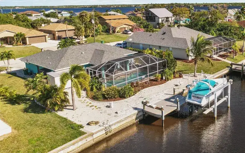 Everything on the island, by its three city labelsSee homes
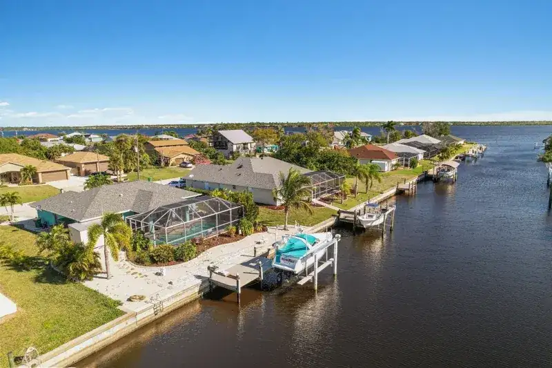 MatlachaSee homes
BokeeliaSee homes
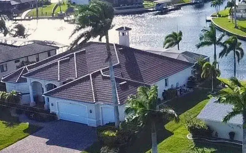 Saint James CitySee homes
ZIP 33922, BokeeliaSee homes
ZIP 33956, Saint James CitySee homes
Island homes are listed under Matlacha, Bokeelia and St. James City rather than Pine Island, so these searches use those names. 33956 is St. James City on the south end and 33922 is Bokeelia on the north end. Every search follows the live feed.
Tell us which part of the island you love and the boat that has to fit, and we will send what matches as it comes up. On a small island, the right home can come and go quickly.
Bring the drive, utility service and flood zone to the call so we can review the address you like.
Matlacha, Bokeelia and St. James City each draw their own buyer: the village by the bridge, the north tip on Charlotte Harbor and the south end with docks. We price your home against island sales first, then show buyers the island life that comes with it.
Asking prices show what sellers hope for. Recent closed sales show what buyers paid. We pull the closed sales nearest your home, walk through them with you and agree on a price you can stand behind.
Pull up any address or see what your own home might be worth. The waterway map covers the Cape Coral canals across Matlacha Pass, and for an island flood zone the FEMA Flood Map Service Center at msc.fema.gov has the official map.
Guides for the water question and the purchase, then Cape Coral across Matlacha Pass.
For an island dock, we start with the local dock and route records and a ride on the water.
Practical guides for the Southwest Florida coast. Apply the advice to the exact property.
Use the named-place list at the top of the page to explore schools, parks and local services. Choosing a row shows the point and directions.
Show schools on the map ↗The district sets attendance zones; its address lookup gives the current answer for the home you like.
School district information ↗Beaches, marinas, parks and everyday stops from OpenStreetMap. A quick call ahead confirms hours before you go.
Choose a category to explore named places.
Named places inside the mapped Pine Island outline. Matlacha is also covered in the guide and home search. OpenStreetMap. Sources shown per category.
Choose a place in the list. The map shows what is around it.
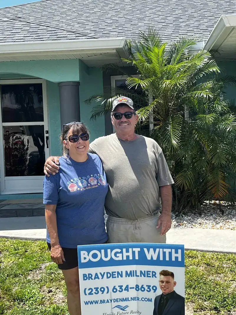
Bought with Brayden
Buyers who found their Southwest Florida home with our team.

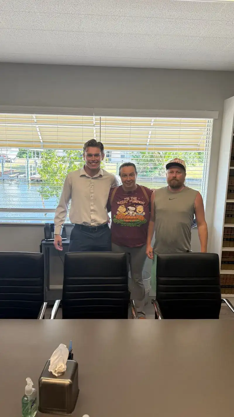
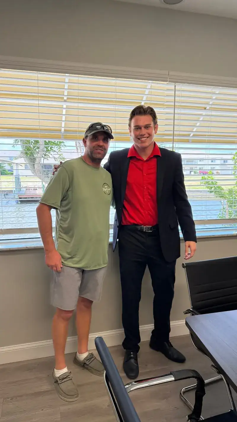
Closings with The Milner Team. Brokered by Florida Future Realty, Inc.
No, and that is part of the charm. Matlacha is the fishing village of galleries and cottages on the way in, Bokeelia is the north tip at the mouth of Charlotte Harbor, and St. James City is the south end, looking across to Sanibel. Each one is priced against its own recent sales.
The drive, the utilities and the flood zone. Pine Island Road is the only road to the mainland, the island has its own water association, and the FEMA zone for the exact address shapes the insurance quote. We line up all three before you compare asking prices.
Island homes are listed under Matlacha, Bokeelia and St. James City, so the searches on this page use those three names. Send us an address and we will pull everything nearby, including anything the city filter misses.
They are built for Cape Coral canals. For an island dock, we read the local dock and route records for that address and review the water route with you, and the FEMA Flood Map Service Center gives the official flood zone.
Cottages in Matlacha, homes around St. James City at the south end, and rural land, groves and farms toward Bokeelia and Pineland. Most of the island is zoned agricultural, so lot sizes and land use vary a lot from one parcel to the next.

Want a walk-through of Pine Island or Matlacha? We know the water, the flood map and the listing sheet. Book a call and we will walk a specific address with you.
(239) 895-9383Prefer to pick a time? Book directly with an agent, or call and we will sort it out on the spot.
The Milner Team, led by Brayden Milner. Brokered by Florida Future Realty, Inc.
Request a callback from The Milner Team.
Plan a call about Pine Island & MatlachaA few quick taps: selling, buying or both, your timing and how to reach you. We pass your choice of agent along with it. To lock a specific time instead, book with an agent.
Bring the address you like, any dock, elevation or insurance papers you have, and the height and draft of the boat that has to fit.
We pull current homes under Matlacha, Bokeelia and St. James City together, for a broader view of the island search.
Then we walk through the four things that shape an island purchase: the drive, the utility service, the flood and insurance picture, and recent island sales.
Tell us what you are planning. A real person on the team will follow up.
Tell us what you need, and a real person on the team will follow up.
