

Send us an address. We’ll send back the brief.
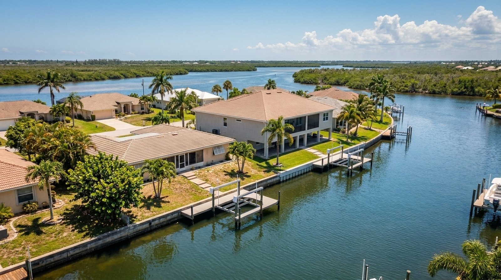
Before you tour a Cape Coral home, and definitely before you write an offer, there are pieces of information that should sit on the worksheet: flood zone and whether an elevation certificate is worth pulling, canal type and the actual route to open water, bridge / weir / former lock-route constraints, utility assessment status, school-choice context, and any property-specific caution flags. The search below runs the City’s area-level civic file instantly. The full property-level brief (with the items above tied to a specific address) we put together by hand and send back. Most agents don’t pull all of this. We do.
Search an address. See the area’s civic file.
Every Cape Coral neighborhood has a civic profile: evacuation level, surge clearance time, fire district, council district, utility status, hydrant proximity. We pulled the City’s open-data layers, joined them to a typeable address index, and bucketed the detail to area level so the answer is the same whether you’re asking about your own house or your neighbor’s. No owner names. No lot-by-lot detail. Just the geography. For the full property-level brief (flood zone, canal type, bridge constraints, assessments, school choice, caution flags) ask us and we’ll send it.
No login. No email gate. Area-level data only: no owner names, no parcel-specific details, no exact distances.
The area profile appears here.
Risk · Civic · Infrastructure · Proximity · Waterfront
Data sources: City of Cape Coral Open Data ArcGIS Hub (Ownership_AGOL, Evacuation Zones, Coastal High Hazard Area, CRA, Fire Stations, Water Hydrants, Parks). Refreshed periodically. Informational only. Verify with the City, Lee County Property Appraiser, and licensed professionals before relying on this data for any transaction. Lot-specific details (zoning, lot size, seawall, exact distances) are intentionally generalized to neighborhood ranges so every address on a block returns consistent data.
What each field actually means for a buyer.
A field-by-field translation of what the City’s GIS data means in plain English, and why we generalize the parcel-specific bits.
- Evacuation level (A–E). Lee County’s ranked storm-surge evac order. Level A goes first when a hurricane is forecast. Buyers assume insurance and resale follow this letter. They do.
- Storm surge zone & clearance time. The hours of advance evacuation needed under the worst-case modeled surge. SW Cape parcels typically run 10+ hours; central Cape much shorter.
- Coastal High Hazard Area (CHHA). The state’s designation for parcels in the Cat-1 storm-surge zone. Triggers stricter building codes and limits density on redevelopment.
- Fire & council districts. Which fire department responds, which council person represents the area. Both are area-level facts, useful for response expectations and civic engagement.
- CRA (Community Redevelopment Area). A city-designated incentive zone. Not all of Cape Coral is in one. If your parcel is, certain renovation grants and tax-increment programs apply.
- Water/Sewer/Irrigation availability. Cape Coral is rolling out central utilities under the Utility Expansion Program. “Available” means the line is at your easement; “not available” means well + septic for now and a future assessment when it arrives.
- Proximity ranges (hydrant / fire station / park). Bucketed into ranges rather than exact feet. A house with a hydrant in front and one across the street still both score “under 500 ft”, the answer that actually matters for insurance.
- Why we generalize. Lot size, zoning code, seawall on file, exact canal name, and exact distances vary parcel-to-parcel. Showing them per-address creates uneven results. Protected residents under Florida public-records exemption can’t be in this kind of database, but their neighbors shouldn’t get different answers either. We bucket to neighborhood level so the lookup is consistent for everyone. For lot-specific details, talk to us directly.
Send us the address. We’ll send back the brief.
Flood zone, elevation context, canal type and gulf-access route, utility assessment status, school-choice context, and any property-specific caution flags, tied to a specific address. We put it together by hand. Whether you’re writing an offer this week or five years out, the brief tells you what matters before emotion takes over.