Built from City of Cape Coral GIS + OpenStreetMap. A starting point, not gospel — we verify vessel fit,
bridge clearance at tide, and route reality per address before any offer.
Data notes
Full data notes
Data source: City of Cape Coral Public Works GIS and bridge inventory, plus OpenStreetMap routing geometry. Canal polygons are classified SALT/FRESH by the City; freshwater segments that do not reach the Gulf are excluded from routing. Time-to-exit estimates use a flat 5 mph no-wake speed. The Chiquita Lock was permanently removed in June 2025; former lock-route canals now route directly to the Caloosahatchee, but fixed bridges still determine whether a specific address is direct or indirect gulf access. The route model does not yet account for bridge openings, narrow-canal speed drops, or post-removal dredging restrictions. Treat the route as a starting point. Informational only. Verify with a licensed surveyor, marine contractor, and local authorities before closing on any canal property.
Why this map matters
The canal map every waterfront buyer should see first.
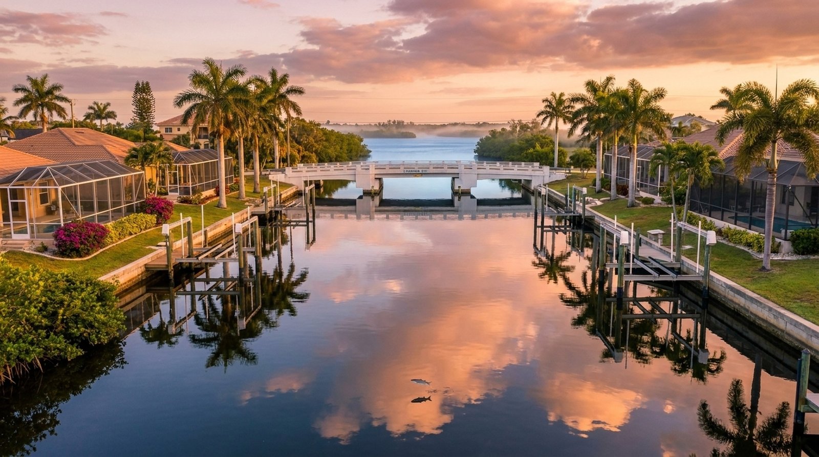
Cape Coral has more than 400 miles of canals, more than any other city in the world. Not every canal gets you to the Gulf. Some are landlocked freshwater. Some have a fixed bridge low enough to keep your boat home. (The Chiquita Lock that used to gate many SW indirect routes was permanently removed in June 2025, so that bottleneck is gone.) Most agents say “canal.” We show you the route, the blockers, the lowest bridge, and the real boating question for a specific address. Before you fall in love with a backyard view that won’t take your boat.
Same street, two answersGulf access on one side, freshwater on the other.
Canal Categories
Three canal networks, three different outcomes.
Here's what "waterfront" actually means in Cape Coral, and why the nuances can mean tens of thousands in resale value.
Direct Gulf Access
Saltwater, no locks, no fixed bridges
The top of the canal stack. From your dock, straight through the spreader system to the Caloosahatchee River and out to the Gulf. No locks, no fixed bridges blocking tall masts. This is what the local MLS calls “sailboat access.” Concentrated in SW Cape Coral and parts of SE.
Sailboat AccessTop Price BandSW & SE
Indirect Gulf Access
Saltwater, but under a fixed bridge
Reaches the Gulf eventually, but the route passes under a low fixed bridge (typically 8–10 ft clearance). Powerboat-friendly; tall-masted sailboats can’t make it through. Priced between freshwater and direct gulf access homes. Note: with the Chiquita Lock removed in June 2025, the lock bottleneck is gone, but fixed bridges still decide whether a route is direct or indirect. Verify per address.
PowerboatMid-RangeSW Cape
Freshwater
Separate canal system
Not connected to the Gulf at all. Works for kayak, paddleboard, jet-ski, fishing, and quiet canal views at a lower price than gulf-access. Concentrated in NE Cape Coral. NW is mixed — the interior is freshwater, but west of Burnt Store Rd flips to direct gulf access. You still get the water out back; the route depends on the specific canal.
Lower Price BandFreshwaterNE & NW Interior
Buyer Checklist
Verify these before you write an offer.
The data to demand on any canal property, before emotion takes over.
Canal classification. Direct gulf access, indirect gulf access, or freshwater. Documented in MLS. Verify with the seller and confirm with City/County GIS and current seller disclosures.
Bridge clearance. Every bridge between your dock and open water has a clearance. The lowest one determines your max boat height. Sailboats especially.
Post-Chiquita SW navigation. The Chiquita Lock was removed in June 2025, so SW canals that used to transit it no longer have that lock bottleneck. Watch for shallow areas near the former lock site while city follow-up dredging continues. Check the latest City of Cape Coral advisory before closing.
Seawall condition. Seawall repairs run $20-$80K. A failing seawall kills deal value. Get it inspected before the option period ends.
Lift capacity. Existing boat lifts are rated for a max weight. Upgrading to a larger boat? Factor in $15-$35K for a new lift.
Flood zone. X, AE, or VE. Drives insurance, elevation requirements, and resale. Pull the FIRM map before falling in love.
Got questions about a specific canal?
Book a 15-minute call. We’ll pull up the canal together.
We’ll walk through what your route to open water actually looks like: bridges, vessel-height fit, and what it means for your offer.