

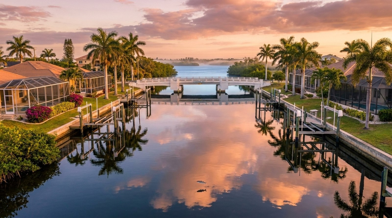
One of the most overlooked factors when buying a waterfront home in Cape Coral is bridge clearance. It doesn’t matter how beautiful the house is or how wide the canal is, if you can’t get your boat to open water, that waterfront property isn’t going to work for you. Here’s everything you need to know about Cape Coral’s bridges and how they impact your home search.
Why Bridge Clearance Matters
Cape Coral’s canal system was designed with bridges carrying road traffic over the canals. If your property is inland from a bridge, your boat must pass under it every time you head out. The vertical distance between the water surface and the lowest point of the bridge structure is the clearance height, and it directly determines what size boat you can own.
Boats with T-tops, hard tops, radar arches, tuna towers, or sailboat masts all add height. A center console with a T-top might measure 8 to 10 feet from the waterline to the top of the structure. A sailboat mast can be 35+ feet. If a bridge on your route has 7 feet of clearance, that 10-foot T-top isn’t getting through, period.
The 159 Bridges of Cape Coral
Cape Coral has 159 bridges spanning its canal system, per the City of Cape Coral’s official GIS canal and bridge data. These range from small neighborhood crossings on two-lane roads to major arterials like Cape Coral Parkway and Veterans Memorial Parkway. Bridge clearances vary dramatically:
- The tallest bridges are on the southern corridors, with clearances up to about 11 to 12 feet
- Many mid-city bridges sit in the 6 to 9 foot range
- A handful of bridges, particularly older ones in the northwest, have clearances under 6 feet
Clearances also fluctuate with tides. A bridge that shows 9 feet of clearance at low tide might drop to 7.5 feet at high tide, enough to turn a passable route into an impassable one.
Our Color-Coded Bridge System
To make bridge clearance easy to understand, we use a simple color-coding system on our interactive canal map:
- Red, Under 6 feet: Very restrictive. Only kayaks, paddleboards, and other very low-profile vessels can pass. These bridges eliminate essentially all powerboats.
- Yellow, 6 to 9 feet: Moderate restriction. Small boats without a T-top or hard top can often pass, but T-tops, hard tops, and tuna towers may not clear, especially at high tide. Always measure your actual vessel height before committing to a property behind a yellow bridge.
- Green, 9 feet and up: Comfortable clearance for the majority of recreational powerboats, including most center consoles with a T-top or hard top. Still not sailboat-mast territory, but excellent for the typical Gulf Coast boater.
Fixed vs. Movable Bridges
Most of Cape Coral’s canal bridges are fixed bridges, meaning they don’t open. Your clearance is what it is. There are a few movable bridges (bascule or lift bridges) on the Caloosahatchee River itself, but within the canal system, plan on fixed clearances.
Tidal Impact on Clearance
Cape Coral sits on the Gulf Coast with a typical tidal range of 1 to 2 feet. That might not sound like much, but on a bridge with 8 feet of nominal clearance, a 1.5-foot high tide drops your working clearance to 6.5 feet. We always recommend calculating your clearance at mean high water, the worst case you’ll encounter on a regular basis. Our canal map shows each bridge’s charted clearance, but it does not adjust for tides, so do that math yourself before committing to a route.
How Vessel Height Affects Property Choice
This is the practical takeaway: know your boat’s height before you start looking at waterfront homes. Measure from the waterline to the tallest point on your vessel (T-top, antenna, radar dome, etc.) and add at least 12 inches of safety margin. Then only consider properties where every bridge on the route to open water clears that height at high tide.
If you haven’t bought your boat yet, this actually gives you more flexibility, you can choose a property first and then buy a boat that fits the bridges on your route.
Use Our Canal Map to Check Before You Buy
We built an interactive waterway explorer that maps all 159 bridges and 959 canal segments in Cape Coral, sourced directly from the City of Cape Coral’s official GIS data. You can enter any waterfront address, see the route to open water, and check every bridge clearance along the way, color-coded for quick reference. It even estimates travel time at no-wake speed.
Before you make an offer on any waterfront property, run it through the map. It takes 30 seconds and could save you from buying a home where your dream boat becomes a very expensive lawn ornament.
Need help interpreting the results? Book a call with our team, we’ve helped hundreds of boaters find their perfect waterfront match.
If clearance is the point, start with direct gulf access homes or the broader gulf-access search.