

Boating
45 miles of sailboat canals
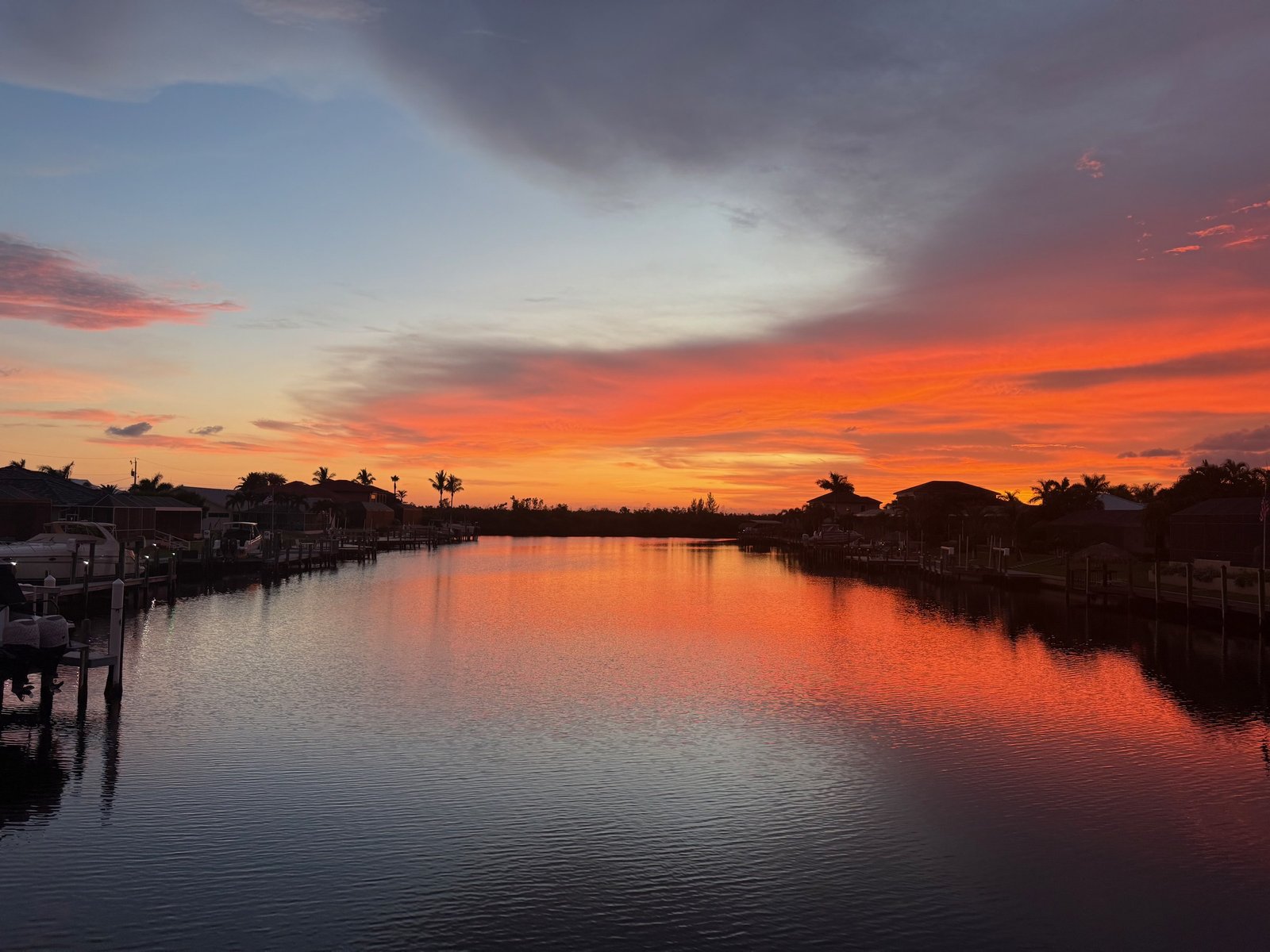
Punta Gorda Isles' canal system connects to Charlotte Harbor with mostly no fixed bridges, a real deep-water boating community, not a marketing claim.
By The Milner Team
Punta Gorda sits just north of Cape Coral on Charlotte Harbor, Florida’s second-largest natural harbor, and it has its own real canal system: Punta Gorda Isles runs roughly 45 miles of deep-water, mostly sailboat-access canals straight to the harbor. It is not every canal in town, the Powerboat Section runs under fixed bridges, and plenty of Punta Gorda inventory sits inland with no water at all, but the boating identity here is genuine, not a marketing line.
We don’t write our reviews — our clients do. Read them on Google, Zillow, and Realtor.com.
Punta Gorda, FL · active listings in our live IDX search feed, default map view · updated October 5, 2026
A live snapshot of active Punta Gorda listings — newest first. Full search and filters live on the listings page.
 $689,900
24247 San Lucas LN
Listing courtesy of Partnership Realty Inc.
 $339,000
14009 Black Beauty DR 211
Listing courtesy of John R. Wood Properties
 $269,499
11855 Cloverly LN
Listing courtesy of Lennar Realty Inc
 $225,000
43977 Boardwalk LOOP 2324
Listing courtesy of Treeline Realty Corp
 $399,990
44393 Kelly DR
Listing courtesy of Pulte Realty Inc
 $825,000
5780 Sabal Palm LN
Listing courtesy of Realty One Group MVP
Punta Gorda pairs a genuine canal-and-harbor boating identity with a small, walkable historic downtown, something Cape Coral’s much larger canal grid doesn’t really have. It draws buyers who want the water lifestyle without the size and traffic of Cape Coral or Fort Myers.
Punta Gorda Isles' canal system connects to Charlotte Harbor with mostly no fixed bridges, a real deep-water boating community, not a marketing claim.
Fishermen’s Village is a working marina, shopping, and dining complex on Charlotte Harbor; Gilchrist Park adds twelve acres of harbor-front green space right downtown.
Punta Gorda Airport (PGD) runs Allegiant flights to dozens of destinations, a genuine convenience most SWFL cities this size don’t have.
Punta Gorda’s historic downtown core is genuinely walkable in a way Cape Coral and Fort Myers aren’t. A different scale of city, not a lesser one.
“PGI” covers four distinct boating sections with different ride times to the harbor. Here’s the honest breakdown.
North of West Marion Avenue, generally the shortest ride to the harbor at roughly 5-10 minutes, no fixed bridges.
South of West Marion Avenue, roughly 10-20 minutes to open harbor water, still no fixed bridges on most routes.
Named for its bird-named streets, roughly 20-30 minutes to the harbor via Buckley’s Pass. Real access, just the longest of the sailboat sections.
North of West Marion Avenue, routes pass under fixed bridges with roughly 13-14 feet of clearance, powerboat-friendly rather than true sailboat water.
Punta Gorda is part of Charlotte County Public Schools, separate from Lee County to the south. Charlotte High School is the long-standing comprehensive public high school families ask about most. Confirm current boundaries and programs directly with the district.
Punta Gorda sits directly on I-75 and US-41, roughly 30-40 minutes north of Fort Myers/RSW and a similar distance south of Sarasota. A genuine crossroads location, not a dead end.
A PGI address alone doesn’t tell you ride time or bridge clearance to the harbor. We confirm the specific canal section, depth, and any bridge limits before you offer.
Saltwater. Punta Gorda Isles (PGI) has roughly 45 miles of deep-water canals connected to Charlotte Harbor, Florida's second-largest natural harbor, and most of the system is sailboat-water with no fixed bridges. Ride time to open harbor water runs anywhere from about 5 minutes in the Old Sailboat Section north of West Marion Avenue to 20-30 minutes in the Bird Section via Buckley's Pass, so the same 'PGI' label covers a real range of access times. We check the specific canal and section before you offer.
No. Punta Gorda Isles has a distinct Powerboat Section, north of West Marion Avenue, where routes to the harbor pass under fixed bridges with roughly 13-14 feet of clearance, so it's powerboat-friendly rather than true sailboat water. And 'no bridges' by itself doesn't tell you the depth of a canal, some stretches run shallow. We verify canal section, bridge clearance, and depth for a specific address before you assume open-water access.
Punta Gorda has its own commercial airport, Punta Gorda Airport (PGD), about three miles southeast of downtown with Allegiant service to dozens of destinations, close to both I-75 and US-41. RSW in Fort Myers is also within reach, roughly 30-40 minutes south via I-75, for travelers who want a wider carrier selection.
Punta Gorda is part of Charlotte County Public Schools, a separate district from Lee County to the south (Cape Coral, Fort Myers, Lehigh Acres) and Collier County further south still (Naples). Charlotte High School is the long-standing comprehensive public high school most Punta Gorda families ask us about. As with every district in the region, boundaries and any choice programs change over time, confirm current rules directly with the district before tying a purchase to a specific school.
We’ll walk through what’s relevant to where you are now and what you’re trying to do. No pitch. No pressure.
Real conversation. No pressure. No call-center handoff.
We usually respond the same business day.